Passage #348: 20 April 2016
Reconnoitering the Rim

The practice of "beating the bounds" to help remember and maintain parish boundaries is a relic of the feudal past, before land was private property and reliable maps were readily available. Now, however, just about any phone can tell you what is where. Now, anywhere you go, a fence or structure or road or sign will show you whose land you are on, and where you are or are not supposed to be. The idea of a periodic perambulation being necessary to preserve an active memory of such boundaries seems quaint.
And yet traveling along a boundary can be illuminating in other ways. In the middle lies the usual, the known, the mass, the commonplace. The edge is often forgotten, left fallow. The edge can present open places, spaces that have gone wild. And thereby the edge is conversely often where the action is, the things that don't quite fit in the middle. Either way, the edge case is often a special case, worthy of investigation.
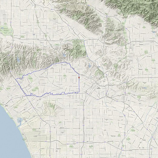
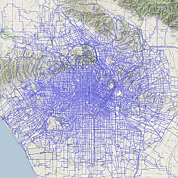
This week we trace the edge of some boundaries created by and within the land- and cityscape. Rather than exploring by transgressing a border or limit, as we perhaps usually might, we explore by staying within the lines.

