Passage #367: 31 August 2016
Dislocation
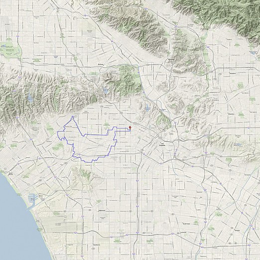
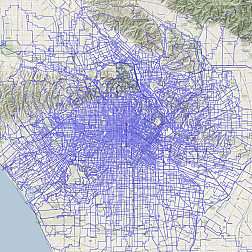
Though we may speak of the L.A. street grid as a unified whole, there are of course many grids, each grown from some unique set of considerations (topographic, cadastral, or simply accidental), all mashed together at odd angles.
Even if the driving factors behind these grids are now invisible to us, they still exert a force upon us, at the boundaries, as we move through them. The shifting orientations may thwart us (or aid us) as we try to get from place to place. But what if we are not so concerned with getting from place to place? What if we respect their invisible borders and simply let the edges carry us where they may? This week, we do just that, tracing the various boundaries and dislocations within the city's many grids.
